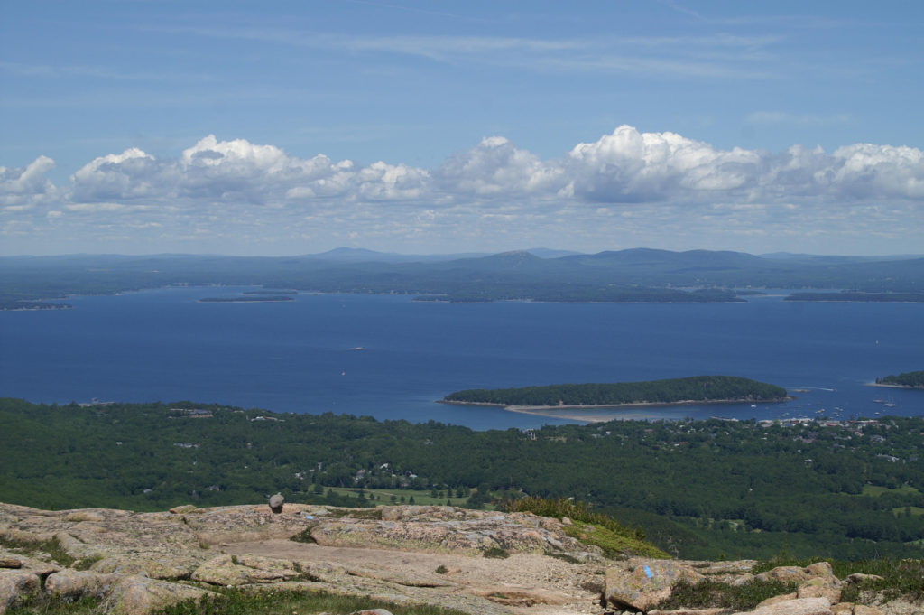
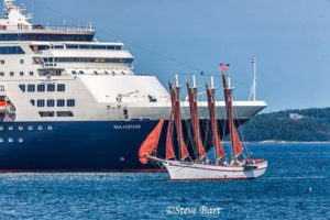
The beautiful Margaret Todd, at 151 feet in length, is dwarfed. Thank you, Steve Bart, for the powerful photograph.As the conversation “focuses” almost entirely around economics (and the economic arguments used become a shell game), we at Friends of Frenchman Bay feel the need to bring awareness back to the basics of concern. Frenchman Bay is a wild and beautiful ecosystem, being threatened by large scale development. A billion dollar international industry has the bay in it’s sights, one foot in the door and the other coming over the threshold. Currently one town on the bay has the power to change the character and quality of the bay forever. Acadia National Park will also be forever diminished by a large cruise ship berthing pier, as the view shed of many high points in the park will be adversely impacted by this development.
In 2012 College of the Atlantic published an amazing document called the Frenchman Bay Atlas, featuring multiple colored maps and brief scientific conclusions highlighting the amazing ecosystem of Frenchman Bay, as well as the stressors on the Bay. Click on the link below to read the easy to understand and interesting document :
Sections include: eel grass, valuable habitats,marine resources, shore bird and water bird habitat, culture, development, tourism (see this section for cruise ship route), working waterfront, conserved lands, point source pollution, over board discharges, upper bay currents, and more.
Next FFB meeting is at Lamoine Town Hall, 4pm, Friday Aug 25th, 2017