

Historical information below regarding the proposed Port Authority and Mega Cruise Ship Pier for Frenchman Bay (see blog posts 11/2019 and earlier for detailed info regarding the previous work of FFB).
There is little joy in the knowledge that enormous corporate entities continue to covet Frenchman Bay as a spot for a cruise ship berthing pier for the largest ships on the planet.
These same entities lobbied against letting the full coast of Maine be a “No Discharge Area (or Zone)” more than 10 years ago, when the regional EPA encouraged the whole of New England’s coast to have the NDA designation. NDAs prohibit dumping of treated sewage within the 3 mile limit. Annex IV of MARPOL states untreated sewage should be 12 miles from the nearest land, but this organization has NO ENFORCEMENT ENTITY. Links below to the maps will show you that the entire coast lines of NH, MA, RI, CT are NDA. Then take a look at Maine. Take a look at the few spots which are NDAs in Maine. Frenchman Bay is not one of them. SW Harbor, NE Harbor, and Somes Sound (and East to Otter Point), portions of the Cranberry Isles and Tremont have that protection, but not Frenchman Bay.
https://www.epa.gov/vessels-marinas-and-ports/no-discharge-zones-ndzs-state
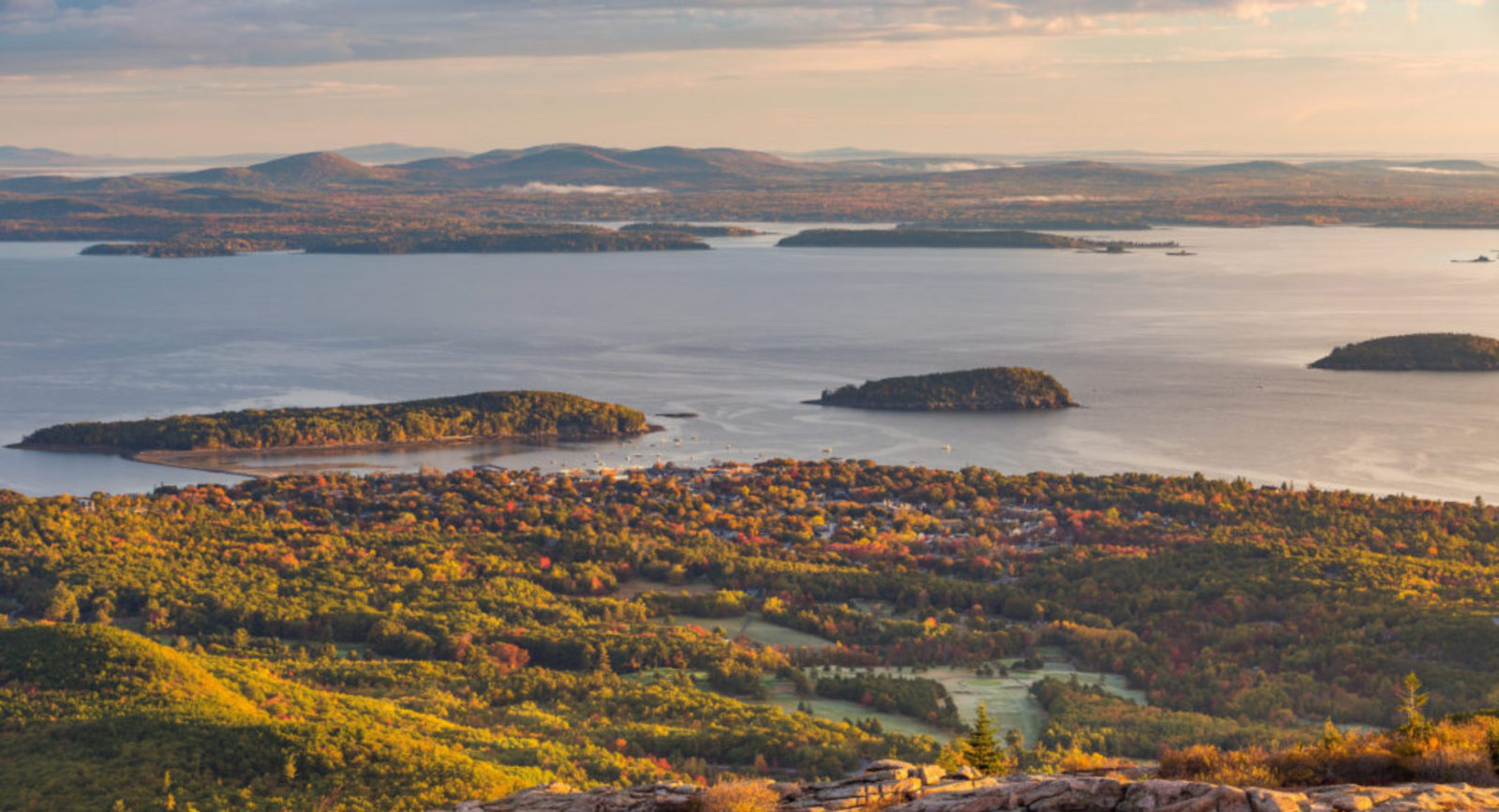
Below is a link to a Frenchman Bay NOAA nautical map. Zoom in on the map to see the horizontal black line that is the ‘mouth’ of Frenchman Bay (the line runs from Otter Point on MDI to near the tip of Schoodic Point.) Zoomed in, one notes the Eastern edge of the “No Discharge Zone”, the purple dotted line running North South. A short distance South of the black East West line denoting the mouth of Frenchman Bay is another solid black line- the “3 mile limit”. Beyond which Grey water and untreated sewage may be dumped.
http://www.oceangrafix.com/chart/zoom?chart=13318
We stand with firm determination that Frenchman Bay needs our protection. As does the entire coast of Maine.
